 1-800-805-5783
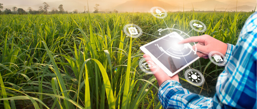
The evolution of agriculture continues to break barriers with the incorporation of Geographical Information System (GIS) and Global Positioning System (GPS). These technologies are opening a new realm of possibilities, especially when it comes to enhancing efficiency, productivity, and sustainability in farming practices. It’s high time we took a closer look at “GIS for agriculture” and “GPS in agriculture”.
In a nutshell, a Geographical Information System (GIS) is a powerful tool that allows users to visualize, analyze, and interpret data to understand relationships, patterns, and trends. In the context of agriculture, GIS provides significant benefits, and here’s how.

One of the most compelling applications of GIS for agriculture is precision farming. GIS technology allows farmers to create detailed field maps, enabling them to understand the variability within their fields. They can analyze a wide range of data, such as soil composition, moisture levels, and crop yield, to make informed decisions about fertilizer application, irrigation, and planting strategies. This precision approach helps maximize yield while minimizing costs and environmental impact.
Another vital application of GIS in agriculture is crop monitoring and management. GIS tools can integrate data from various sources, including drones and satellites, to provide real-time monitoring of crop health and growth. Farmers can quickly identify issues like pest infestations, diseases, or water stress, enabling them to take timely action and minimize crop losses.
GPS, or Global Positioning System, is a satellite-based system that provides location and time information in all weather conditions. When applied in agriculture, GPS can significantly enhance farming operations and offer numerous benefits.
GPS technology is a game-changer when it comes to improving the efficiency of farming machinery. GPS-guided tractors and equipment can work in all conditions, day or night, with precision accuracy. This capability reduces overlapping and missed areas, saving time, fuel, and inputs, while reducing soil compaction.
GPS in agriculture is instrumental in the creation of yield maps. These maps provide a visual representation of crop yield across different areas of a field. By analyzing this data, farmers can better understand the factors affecting yield, such as soil quality, moisture, and pest infestations, allowing them to develop more effective farming strategies.
In conclusion, the integration of GIS and GPS in agriculture marks a significant leap towards smarter, more sustainable farming. By enabling precise, data-driven decision-making, these technologies help farmers maximize yield, reduce costs, and minimize environmental impact. As we move forward, GIS for agriculture and GPS in agriculture will undoubtedly continue to play an integral role in shaping the future of farming.
Embrace the new age of precision farming with the power of GIS and GPS. Experience the future of agriculture today.